Chicopee Streetscape Planning Study
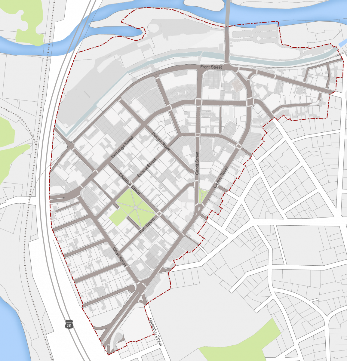
Established in 1890, the City of Chicopee was an industrial town that housed various industries including cotton and textile mills, leather product industries, and arms manufacturing. Today Chicopee is a post-industrial city with a smattering of restaurants, businesses, and financial institutions downtown. Residential and mixed-use developments are underway, but have yet to produce a visible impact beyond their immediate surroundings.
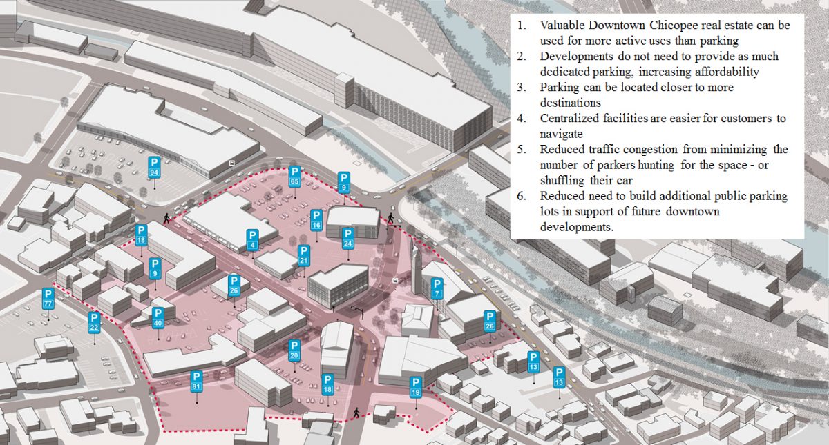
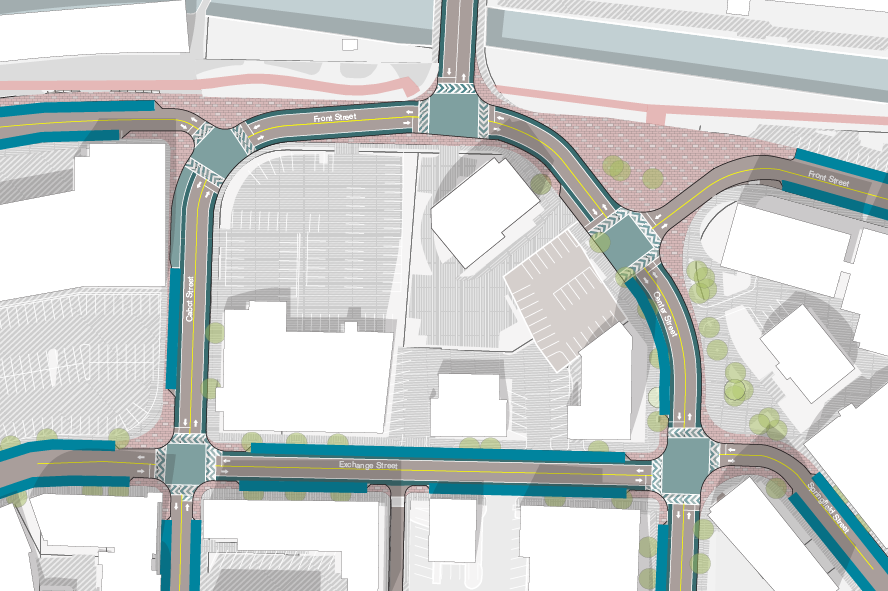
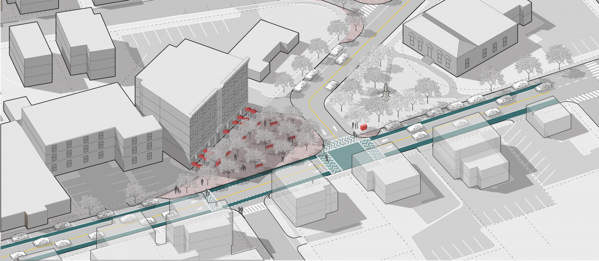
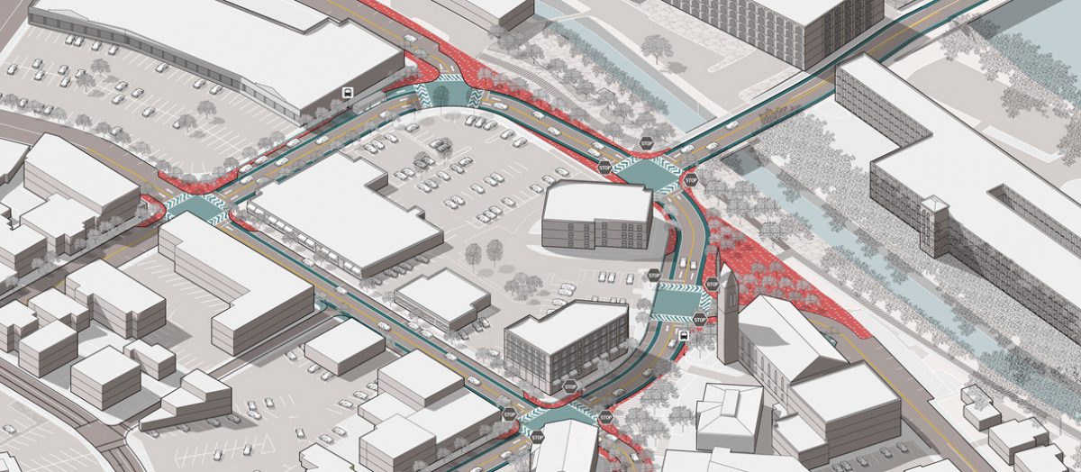
Working with the City of Chicopee and MassDevelopment, Utile’s plan develops more detailed streetscape and public realm recommendations around three key areas of the West End: the downtown core, the Cabot-Center Streets intersection, and Hampden-Center Streets intersection. Utile’s recommendations address vehicular and pedestrian circulation as well as parking, and programmatic strategies involving additional public realm space for informal gatherings or programmed events. These, along with suggested placemaking opportunities, will enhance the visual perception and experience of Chicopee.