Norwalk Industrial Zones & Waterfront Plan
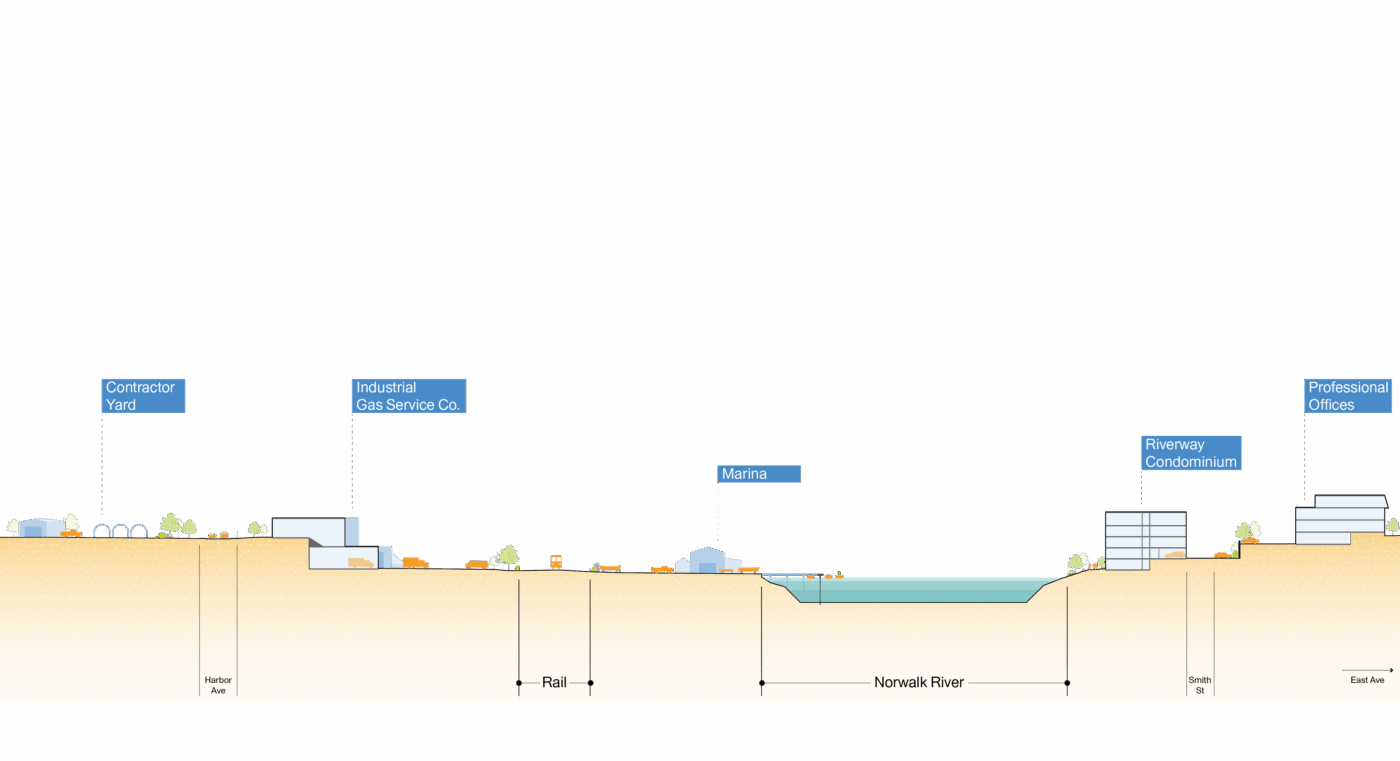
Norwalk’s economy is rooted in its industrial activities and in its water-dependent commercial uses like oystering, ship and boat repair, marine construction and aggregates processing. However, Norwalk’s economy is also diversifying in ways that leverage its proximity to New York City and Stamford along the MetroNorth and Amtrak lines. In an effort to balance the valued traditional industries with emerging economic opportunities and higher environmental and urban design standards, the City initiated a citywide rezoning process with a specific focus on how to streamline and modernize industrial zoning inland and along the waterfront.
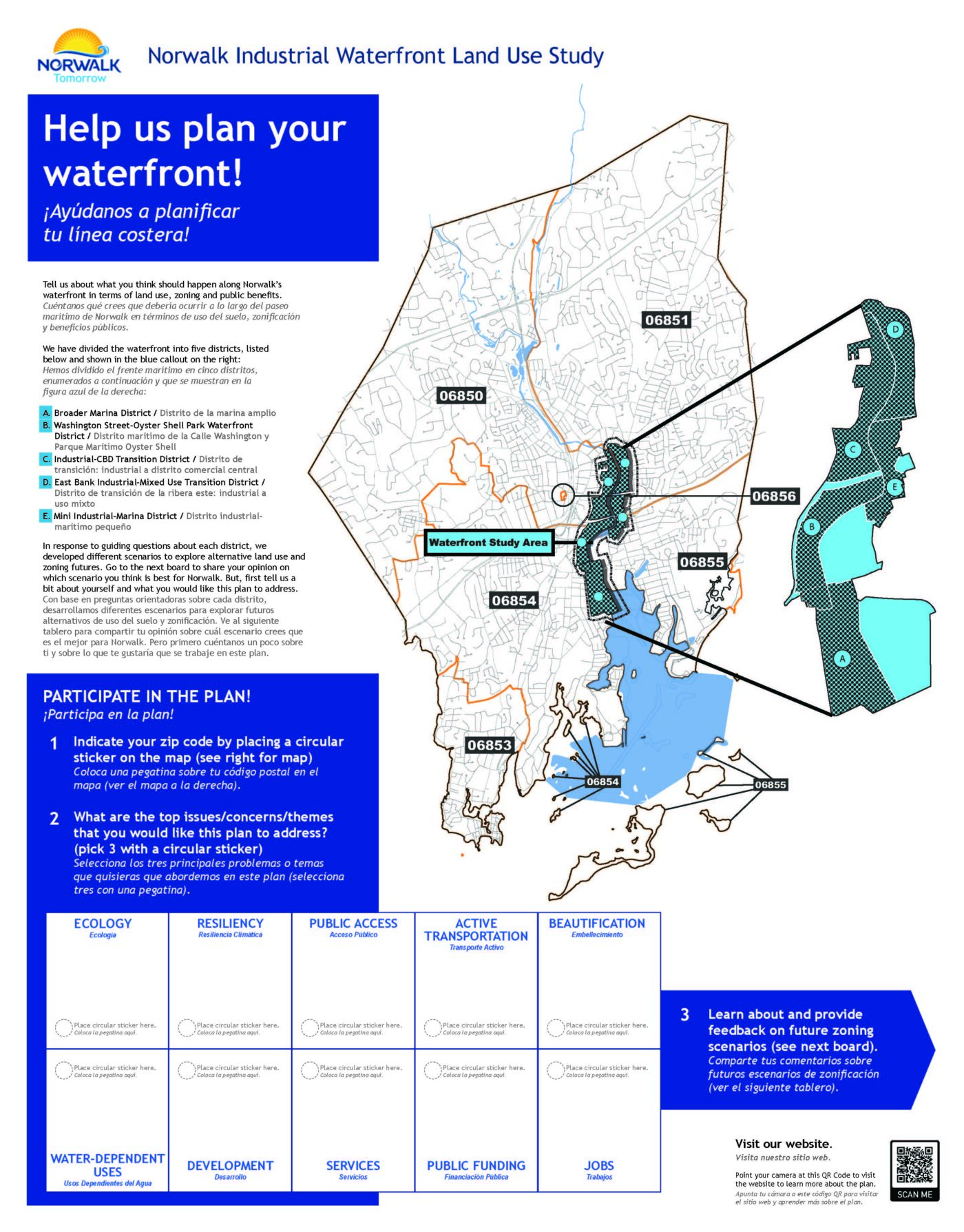
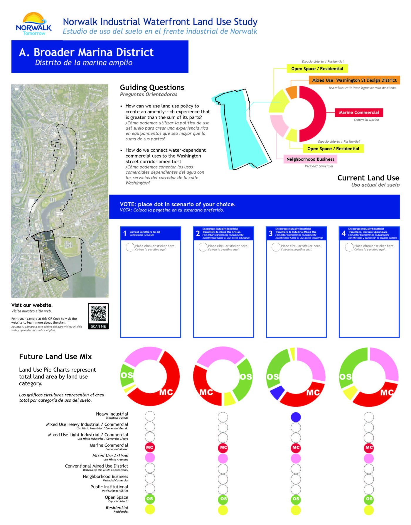
Norwalk’s waterfront, like many others, is experiencing escalating economic and environmental pressures within a complex layered federal, state and local regulatory context. Utile helped the City identify strategic changes to the current land use policy and zoning to preserve, protect and expand traditional water dependent uses while providing more land use flexibility where it was needed most.
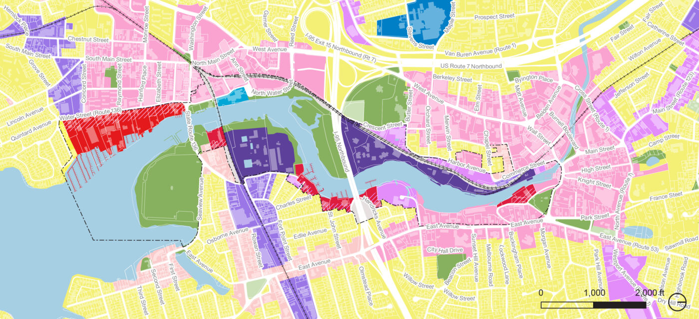
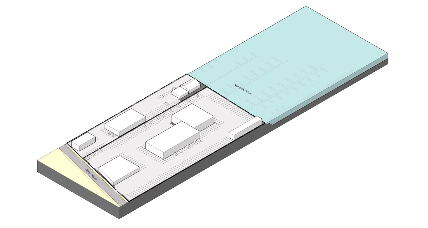
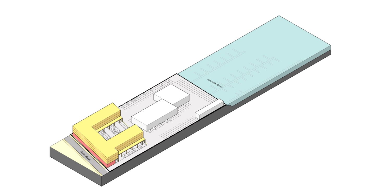
Utile assessed dimensional, operational and use compatibility to identify a new water dependent mixed use development typology that could provide the infrastructural and financial support needed to preserve the traditional waterfront businesses that have historically defined these areas. Recommendations balanced desires for public access, beautification, and ecological restoration with the need for flood protection and cross-subsidy for water-dependent industry.