Burlington Neighborhood Code
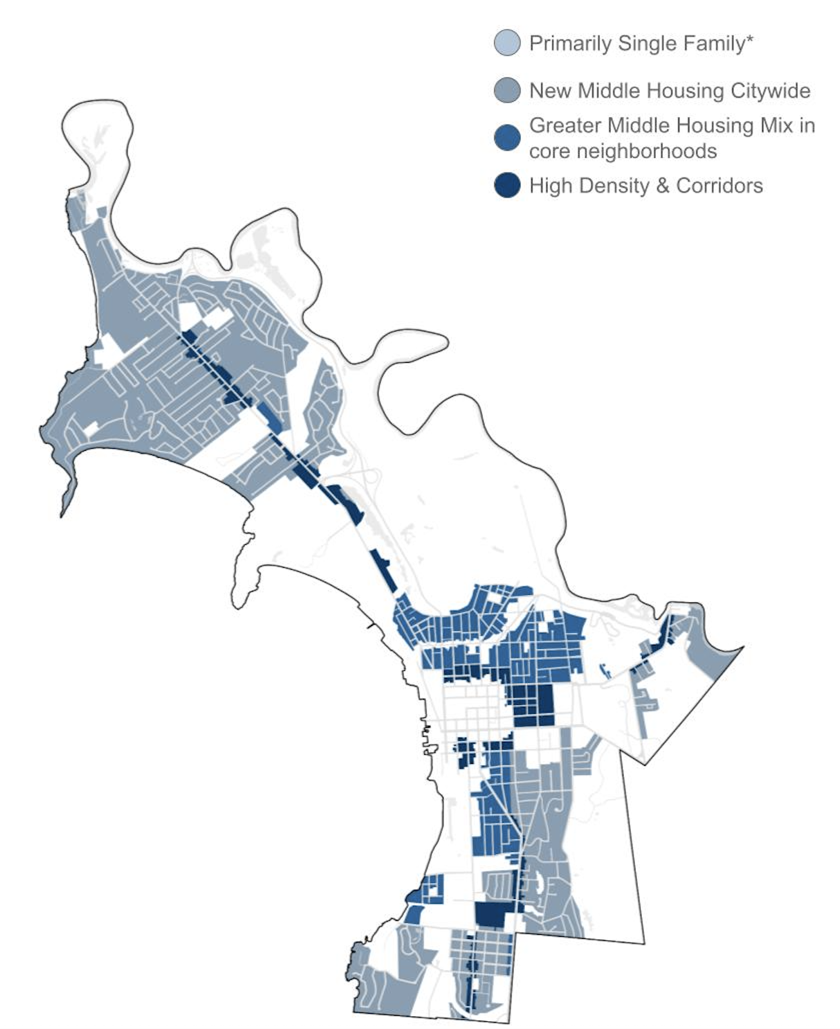
To increase the amount and variety of housing in Burlington, VT, Utile assisted the City’s Planning Department to reform their existing residential zoning code from a more restrictive, density-based system to a more flexible, form-based one, unlocking the potential for significantly more infill, new, and context-sensitive housing development across the city. In early 2024, the City Council unanimously approved the Code.
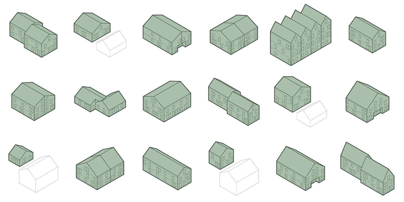
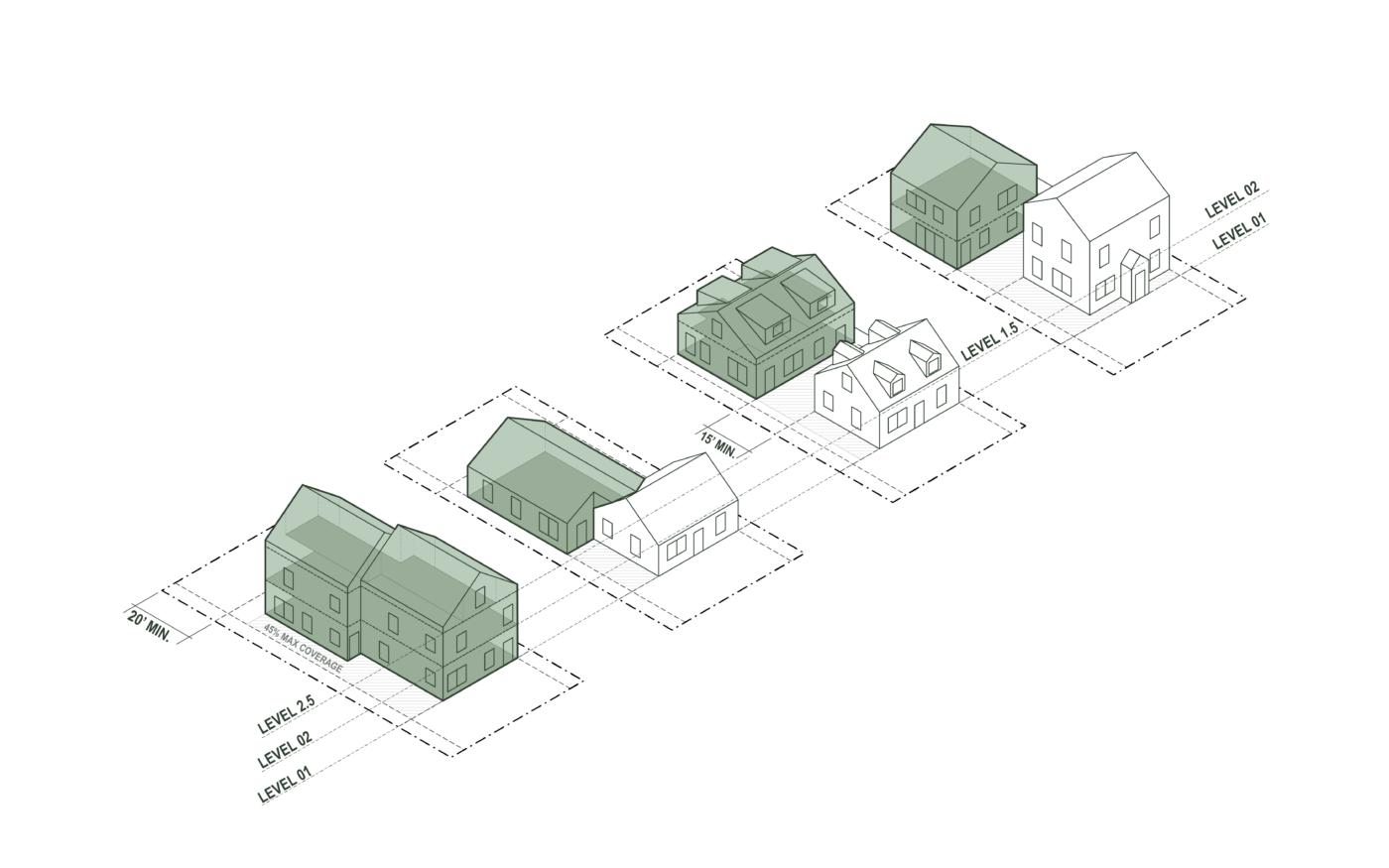
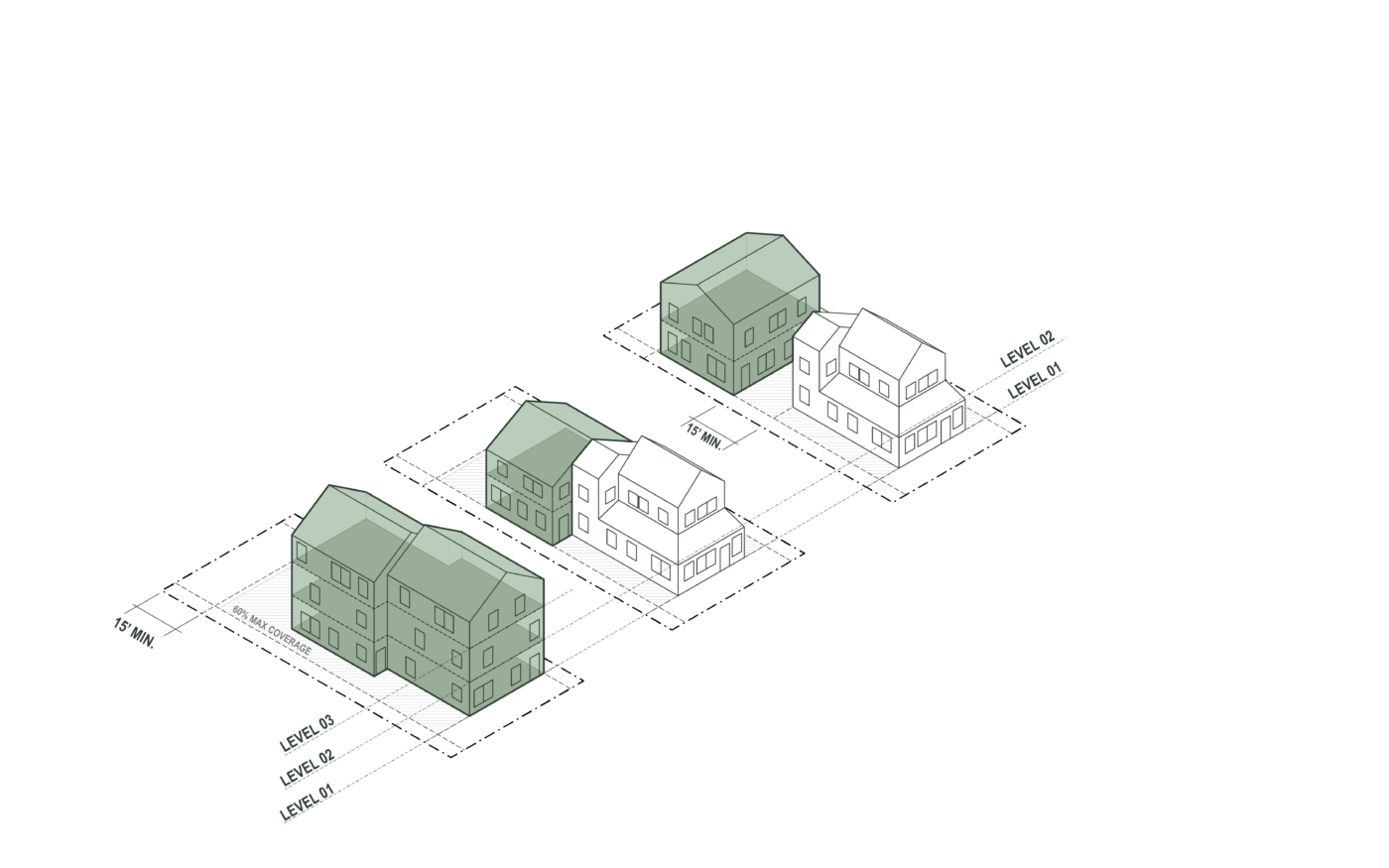
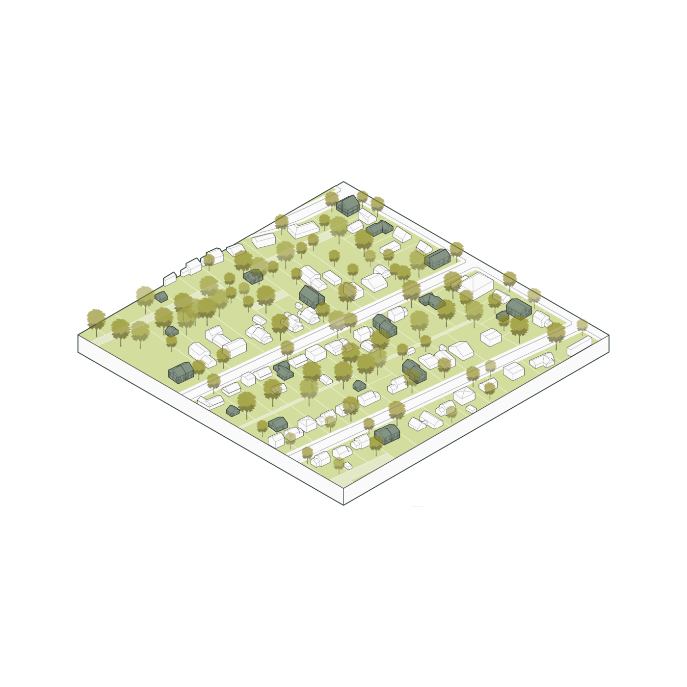
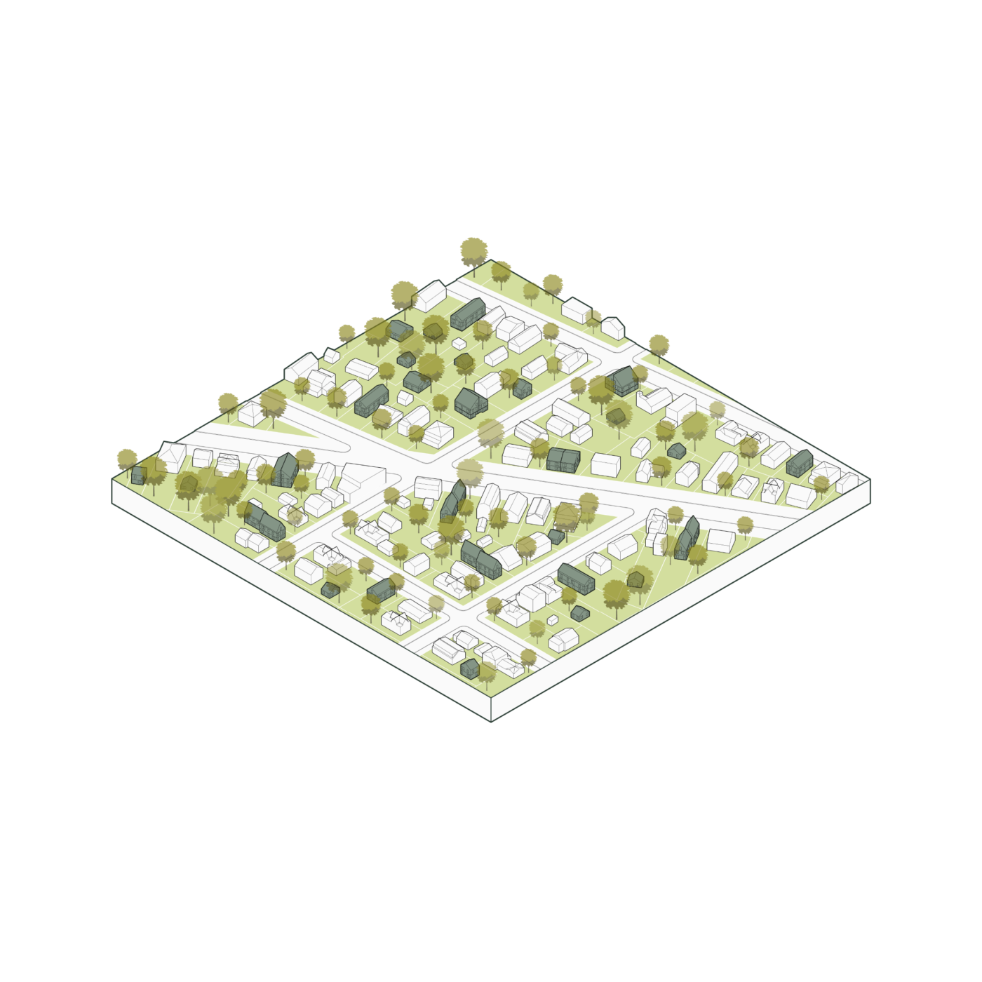
The Neighborhood Code updates the existing district boundaries (so that zoning reflects existing neighborhood patterns) and creates a simplified framework based on a few easy-to-understand parameters: building massing, roof form, setbacks, lot coverage, and units per building. Each of these parameters are calibrated to Burlington’s neighborhoods to reflect their existing scale.
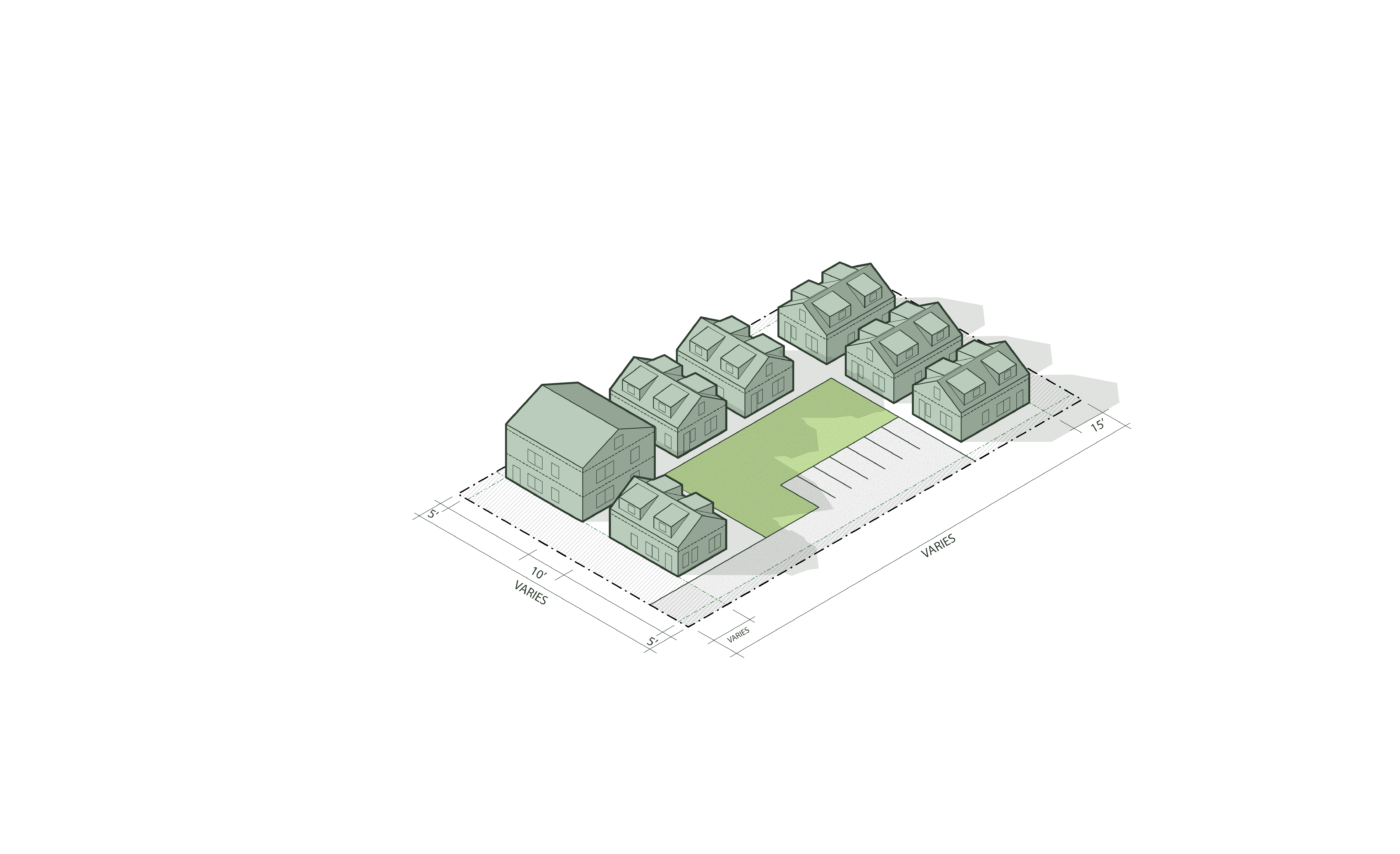
To achieve greater flexibility, the Code also allows for small lot divisions, flag lot divisions, townhomes, special cottage court configurations, and no minimum parking requirements. Altogether, the Code promotes greater housing supply, homeownership opportunities, and more housing typologies and choices for Burlington, VT.
